

Deanesh Ramsewak 1; Naimah S. Mohammed 2; Kelshau Mills 3
1, 2, 3 Centre for Maritime and Ocean Studies, The University of Trinidad and Tobago, Chaguaramas Campus, 2nd
Avenue North, Western Main Road, Chaguaramas, Trinidad and Tobago.
Vol. 4, Issue 1, 2022 DOI: 10.33277/cesare/004.001/01
ABSTRACT
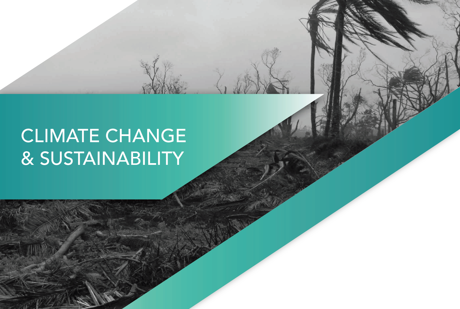
Mangrove forests provide a wide range of ecosystem services and socio-economic benefits globally; however, climatic and anthropogenic forces have negatively affected this unique vegetation type. Information on observed changes is useful in the development of mangrove conservation strategies. Geospatial mapping techniques can provide such information, which is key for the sustainable management of this critical resource. In Trinidad and Tobago, mangrove forests have suffered losses within recent years. This study utilised remote sensing and geographic information systems (GIS) techniques to update an existing 2007 mangrove baseline map of Trinidad and Tobago to 2014 and identify significant changes in mangrove coverage for the 7-year period. Mangrove forest boundaries were delineated using ArcGIS 10.4.1 software through an integrated approach involving visual interpretation of 2014 high-resolution, coloured aerial photography and classification of Sentinel-2 Multi-Spectral Instrument (MSI) satellite imagery. Resultant maps were verified using ground data collected between 2017 and 2019. Spatial analysis techniques were used to isolate and quantify areas of mangrove change. Results revealed that total mangrove coverage for both islands decreased from 9369.3 ha in 2007 to 9077.2 ha in 2014, a loss of 292.1 ha for the 7-year period. Solid waste pollution and land cleared for development were both observed within mangrove areas. A mangrove species map generated for the Buccoo-Bon Accord region of southwest Tobago showed that the area is dominated by red mangroves. The outputs of this study can be used in mangrove forest conservation and management strategies to promote more sustainable development practices in Trinidad and Tobago and the wider Caribbean. The geospatial approach can be implemented when developing monitoring plans.
KEYWORDS
Mangrove mapping; Remote Sensing;
Sentinel-2; Aerial photography; Trinidad and Tobago.

Mangrove forests are critical natural ecosystems that provide a wealth of services and benefits. These forests are under threat due to climate change, land reclamation, pollution and a host of other anthropogenic activities. Ramsewak et al. provides an updated visual of mangrove distribution and extent in Trinidad and Tobago using geospatial mapping and shows the changes that can occur over a 7 year period in these habitats.
Explore at your pace!
CESaRE’s article versions will allow you to explore the material in your own time, and at your own pace. Click on the links below to begin!

The QuikEZ
As the name implies, you can quickly gain an understanding of the author's main findings in just a few paragraphs! Our authors have taken great care to ensure open sources of information for you to access!
Read
The Detailed
A comprehensive academic article layout as an easily digestible summary of findings by the author. Detail is key and the article allows you to fully explore the author's content!
Read
The UpCycle
Academics, industry leaders and transformative NGOs need to be at the same table. This report summaries key information for the steps ahead. Research should allows continue to drive change!
Read
Want to contact the author?
You can do so through the button below. More information is provided in the UpCycle.
